-40%
1905 Geology of Tonopah Mining District 5 Maps 2 photographs & book title page
$ 10.55
- Description
- Size Guide
Description
Offered Today:Maps from
Geology of the Tonopah Mining District Nevada
1905
Maps include the following areas:
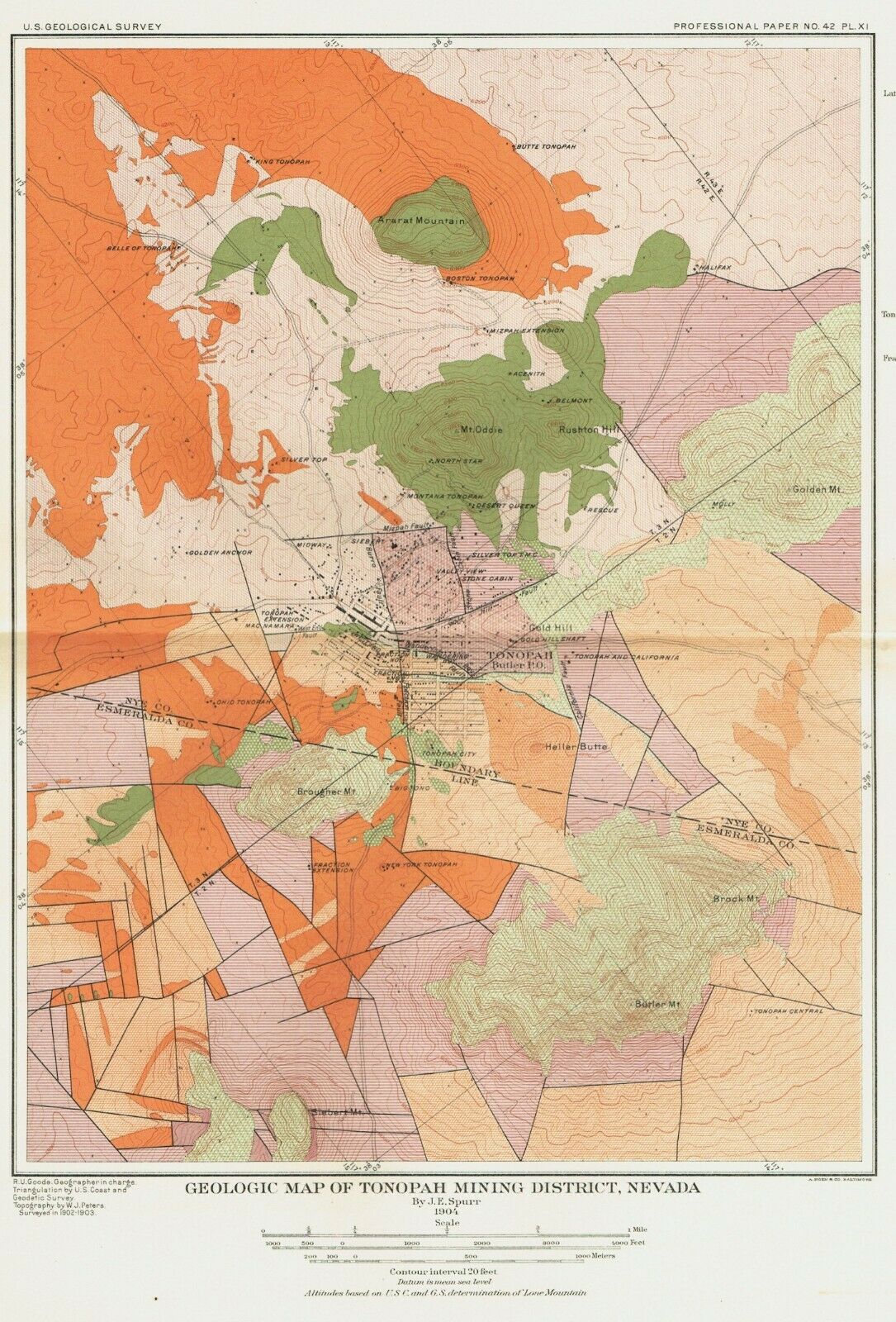
Geologic Map of the Mining District of Tonopah, Nevada
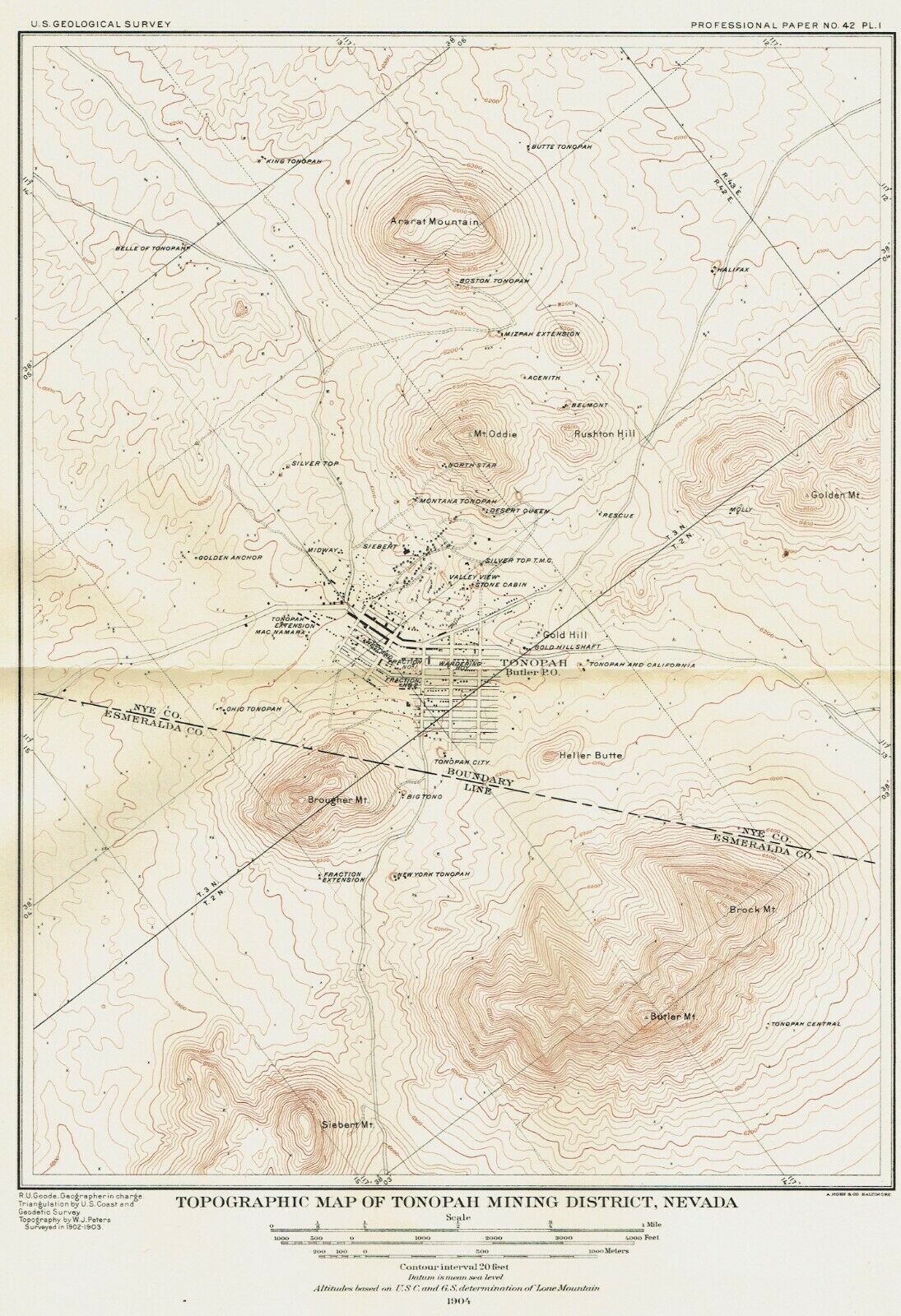
Topographic Map of the Mining District of Tonopah, Nevada
Geologic Map of the Productive Portion of the Tonopah Mining District, showing Outcropping Veins and Areas Partially developed by Underground Workings
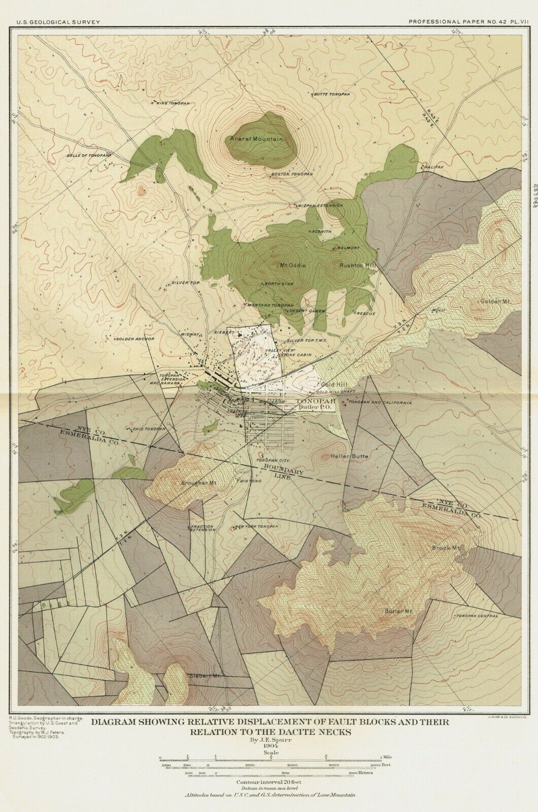
Diagram Map showing Relative Displacement of Fault Blocks and their Relation to the Dacite Necks
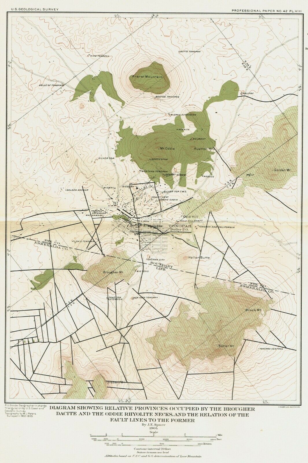
Map of Brougher Dacite and the Oddie Rhyolite Necks relationship to the Fault Lines
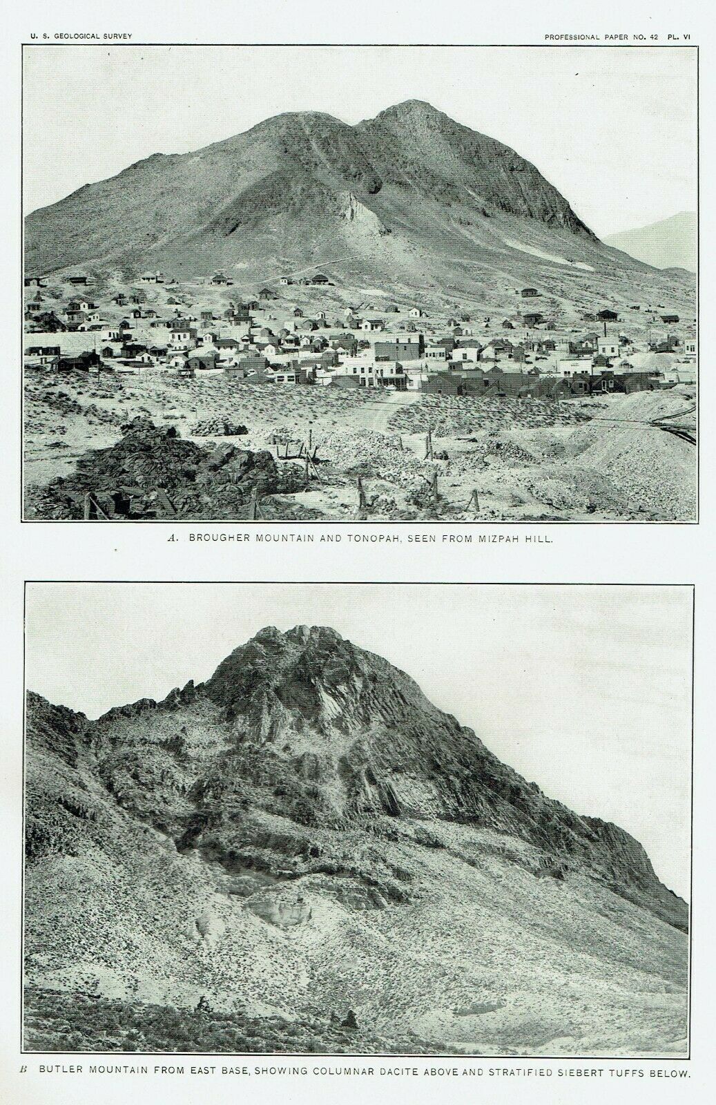
All maps are dated 1904. These maps were lithographed by A Hoen and Co. Baltimore. Sized 9" X 13" maps are bigger than my scanner, makes maps look cropped, they have anywhere from 3/4" to 1 1/2" margins, perfect for framing. Pages appear very toned, but in person these pages are crème color and scan picks up this as darker toning. Maps are much better than the scans! Photographs include; Brougher Mountain and Tonopah from Mizpah Hill and Butler Mountain from east base, showing columnar Dacite and Stratified Seibert Tuffs below. Photographs are a book page.
