-40%
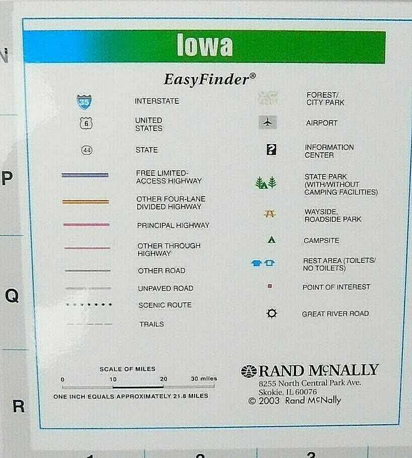
2003 Rand McNally Easy Finder Iowa State Highway Travel Road Map Laminated
$ 6.33
- Description
- Size Guide
Description
2003 Rand McNally Easy Finder Iowa State Highway Travel Road Map Laminated.Blue, white, yellow, and green
2003 Rand McNally Easy Finder Iowa State Highway Travel Road Map
Native Americans in the United States resided in what is now Iowa for thousands of years. The written history of Iowa begins with the proto-historic accounts of Native Americans by explorers such as Marquette and Joliet in the 1680s. Until the early 19th century Iowa was occupied exclusively by Native Americans and a few European traders, with loose political control by France and Spain. Iowa became part of the United States of America after the Louisiana Purchase in 1803, but uncontested U.S. control over what is now Iowa occurred only after the War of 1812 and after a series of treaties eliminated Indian claims on the state
William Rand founded his print shop in 1856 and Rand, McNally & Co. was formally established in 1868. The Company was incorporated in 1873 with Rand as the the first president and McNally vice-president. When Rand retired in 1899, Andrew McNally assumed the role of president until his death in 1904. Rand McNally is an American technology and publishing company that provides mapping, software and hardware for the consumer electronics, commercial transportation and education markets. The company is headquartered in Chicago, with a distribution center in Richmond, Kentucky.
Rand McNally
EasyFinder
2003 Edition
Laminated
Iowa
4 1/4'' x 9 1/4'' Closed
16 3/4'' x 18 1/4'' Opened
Interstate highways
Smoke free home
Has some wear on crease folding lines
Free shipping
Preowned condition
The first road maps, by John Ogilby, in 1697. Ogilby was the first to use the statute mile. The orientation is on each section of the road. Towns may have a correct, and a common name

