-40%
Official Folding Map Texas Highways Chamber Commerce Steck 1932 shows slight use
$ 5.25
- Description
- Size Guide
Description
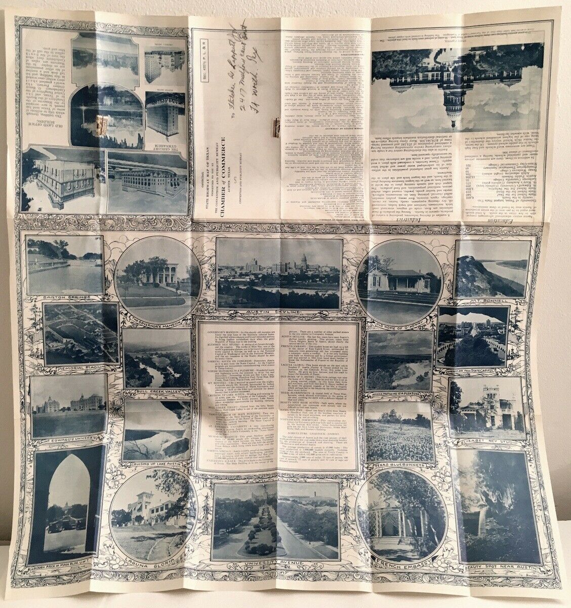
“Official State Highway Map of Texas presented to you by the Convention and Publicity Bureau, Chamber of Commerce, Austin, Texas”
Copyright 1932 E. L. Steck Co., Austin, heavy paper map in color. A folded 9 by 4-inch full-state map which opens to
26 by 24¾ inches. Numerous l
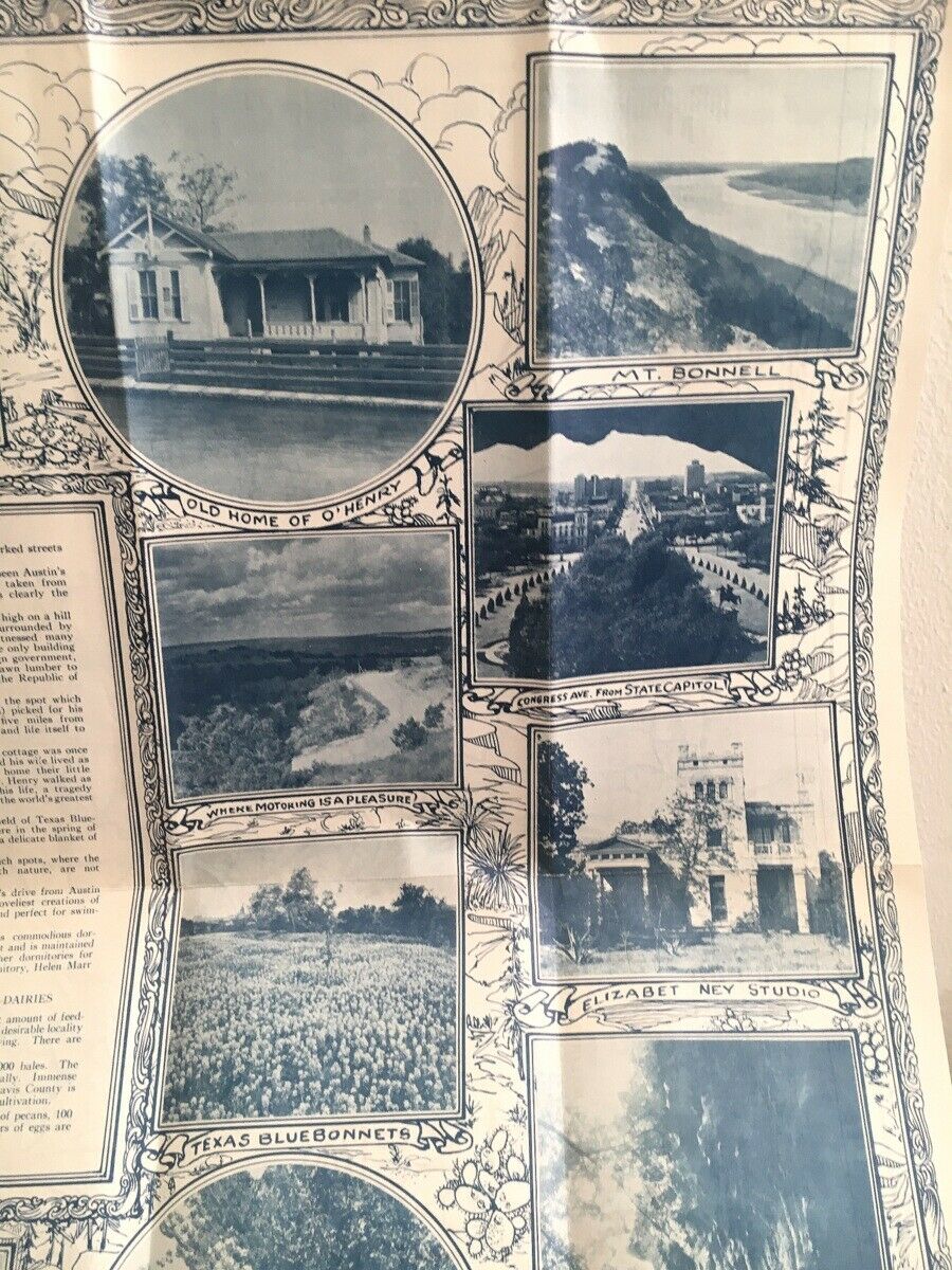
ocal attractions pictured
in blue on verso.
Roads shown in black, water in blue, county names in orange. Some topographical illustration. Lists cities and towns with location key and 1930 populations. Includes locations for a few cities and towns in border states.
Also marks battle fields, missions, state parks, recreational camp grounds, mines, producing oil fields, commercial natural gas fields, and sulphur wells.
Verso printed in blue; shows 25 photographic views from the area with blurbs explaining 20 locations including the state capitol and the Austin skyline. Also, detailed information on other points of interest and facts about education, industry, etc.
This map was initially mailed to previous owner in Fort Worth and shows his address in pencil and a 3-cent stamp which held the folded map closed. The map is still attached but was slit in half when the map was opened. Slightest tanning, edge creases and edge rubbing.
Carefully wrapped and mailed promptly in a sturdy box with tracking.


