-40%
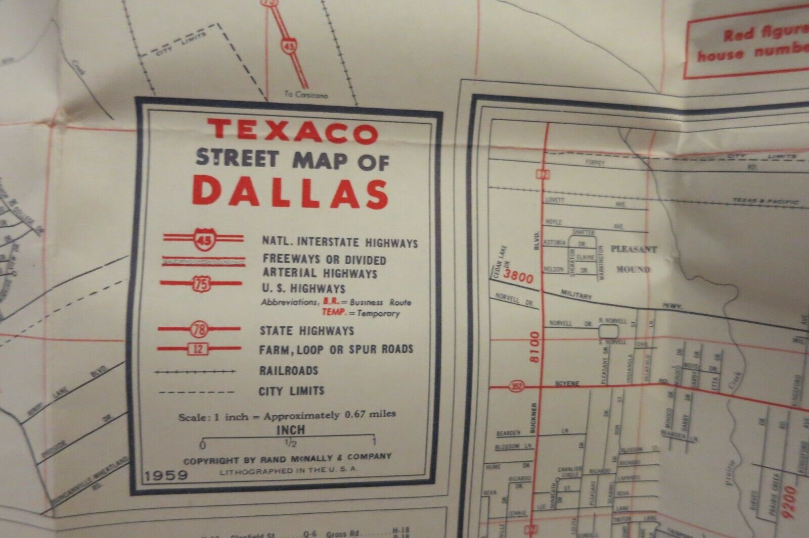
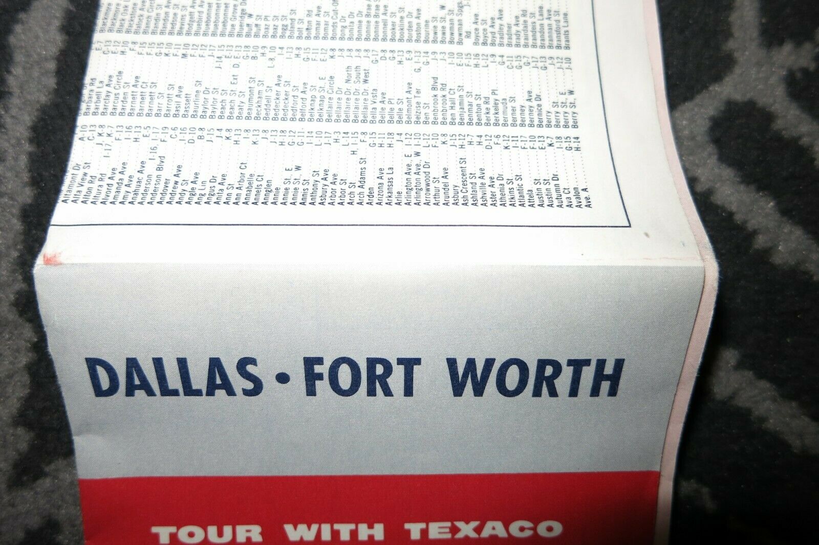
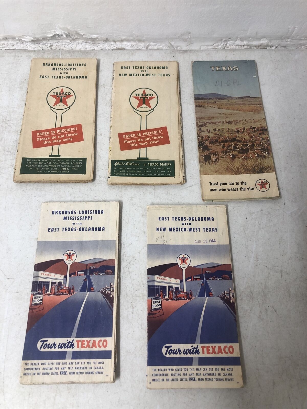
Texaco Dallas - Fort Worth Texas Road Map - 1959
$ 15.83
- Description
- Size Guide
Description
Large-format fold-out 1959 Texaco road map of Dallas and Fort WorthThis map opens to a generous 32" x 23" and has great detail on old street and highway alignments, with cartography by Rand McNally.
Dallas is on one side, with an inset of the Pleasant Mound, Pleasant Grove, and Lake June area.
Fort Worth is on the other side, with insets of Lake Worth and the Fort Worth International Airport (Amon Carter Field) area.
The code number is 9-573907V1-2.
This map is in very good condition, with minor wear and no marks or writing.


