-40%
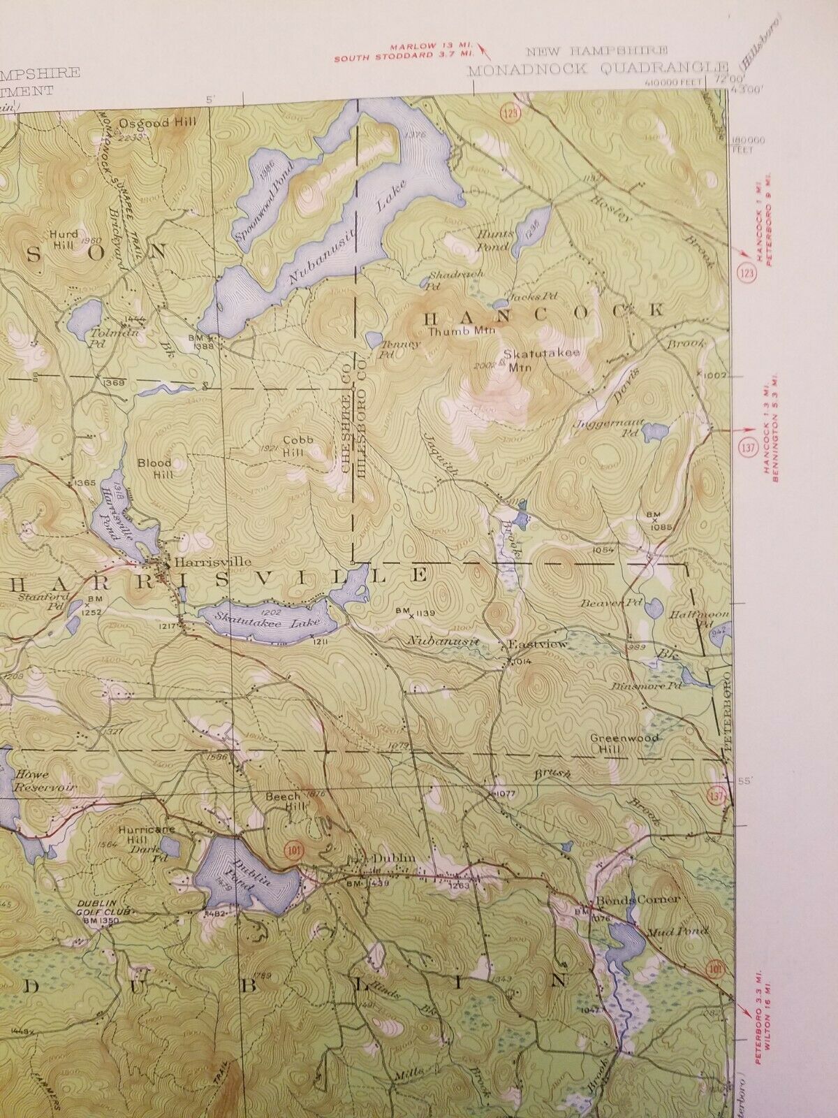
USDOI 1955 USGS Monadnock Quadrangle New Hampshire Topographic Map N4245 1:62,5K
$ 9.24
- Description
- Size Guide
Description
Please Check Out My Other Auctions!You are bidding on a VINTAGE 1955 (Printed) (Last revised 1949) USDOI (United States Department of the Interior) Geological Survey (USGS), State of New Hampshire Topography Map of The Monadnock Quadrangle showing the cities of Troy, Fitzwilliam, Dublin, Harrisville and Marlboro (15 Minute Series). Map Number N4245 - W7200/15. Scale 1:62,500. Item is in EXCELLENT Condition with slight edge wear, folds (See Photos). Measures 17" x 21" unfolded
I accept and prefer
PAYPAL
. No checks, or cash. Be prepared to pay the quoted shipping charges as they are firm. Items are shipped the day after payment is received and verified.
Good luck and thank you for bidding!!
Sold AS-IS.
I will combine shipping for multiple items and will give total once you are ready for shipment of all of your items.
Thanks for looking!
****ATTENTION INTERNATIONAL CUSTOMERS****
YOU ARE FULLY RESPONSIBLE FOR GETTING YOUR PACKAGE THROUGH CUSTOMS! WE MAKE NO GUARANTEES THAT THIS ITEM WILL CLEAR CUSTOMS IN YOUR COUNTRY AND WILL OFFER NO REFUNDS IF IT IS LOST. PLEASE CHECK WITH YOUR LOCAL CUSTOMS AGENT TO VERIFY THIS ITEM CAN BE IMPORTED INTO YOUR COUNTRY. THANK YOU!

